Palm Springs subcommittee tackles bike lanes, parking, maps and a key CV Link connection
City has no comprehensive record of bike rack locations, a key intersection redesign faces a $300K price tag, and a trail link to CV Link awaits a private land sale.
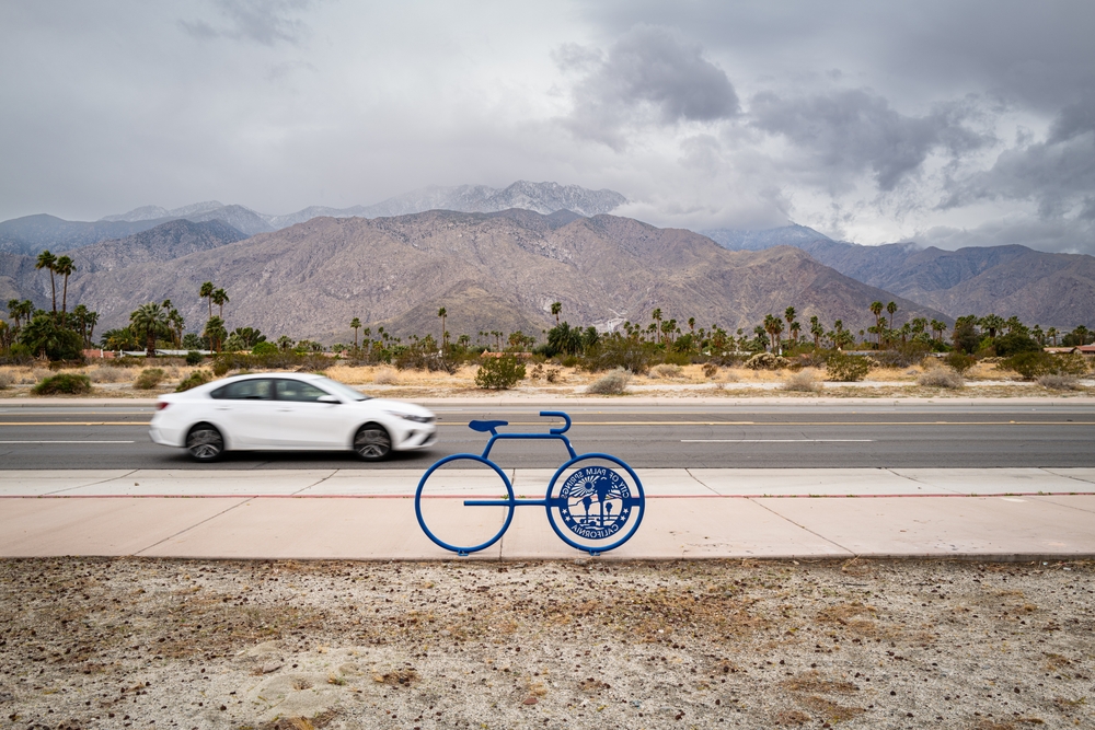
A Palm Springs advisory subcommittee worked through a range of bicycle infrastructure challenges Monday, from outdated digital maps to a missing CV Link connection that may depend on a private land sale.
The Sustainability Commission’s Standing Subcommittee on Active Transportation discussed plans to crowdsource a citywide bike rack inventory, with one member volunteering to set up a digital map where cyclists can pin known rack locations. Staff said the city currently has no comprehensive record of where racks have been installed.
Local reporting and journalism you can count on.
Subscribe to The Palm Springs Post
Subcommittee Chair Michael Frick identified at least 10 trailheads where racks could be added, and members agreed to research standardized rack designs before ordering new ones.
On bicycle lanes, a city engineer told the subcommittee that portions of Sunny Dunes Avenue are posted at 35 mph but should be 30 mph — an error with direct consequences for bike infrastructure. State law prohibits sharrows on roads with speed limits of 35 mph or higher.
The engineer said correcting the signage could open the door to additional bike lane options in the area, where business owners are also seeking approval for angled parking.
A proposed redesign of the intersection at South Belardo Road and South Palm Canyon Drive ran into budget problems. Two options developed by a consultant were estimated to cost roughly $300,000 or more once required ADA improvements and traffic signal relocations were factored in.
Staff said simpler paint-and-signage fixes would move forward within the existing budget, with the full redesign added to an update of the city’s 2021 pedestrian plan as a priority project for future funding.
The subcommittee also learned that a bicycle connection from the James O. Jessie Community Center to CV Link crosses private property currently in escrow. Assistant City Manager Flinn Fagg said the connection would be required under an updated specific plan expected to reach the Planning Commission in about six months, but that an interim path would require the prospective property owner’s cooperation.
“The good news here is that it will be part of the specific plan, and they would be required to provide that connection,” Fagg said.
A public commenter raised concerns that the city’s bike lane data shared with Google Maps is years out of date, with more than half of existing lanes possibly missing. Members also reviewed a draft printed bike map and agreed to submit corrections before a final version is published.
Authors

Related Articles

What to watch for this week at Palm Springs City Hall
Five Palm Springs boards, commissions and the City Council are scheduled to meet this week, with discussions ranging from bicycle infrastructure and climate action to affordable housing and community programs.
City: Bridge project faces minimum 2-year delay amid environmental lawsuit
An organization has filed suit challenging the city’s approval of a flood-control bridge design on South Palm Canyon Drive. The move will threaten federal funding and push back a project nearly two decades in the making.
Palm Springs Arts Commission approves new process for categorizing city art
The new subcollection will be called the Commemorative Collection, and the commission has spent the past several months discussing the best criteria to distinguish a commemorative work from other pieces of public art.